Sigiriya Fortress Sri Lanka – The Lion Rock
Sigiriya Fortress - The Lion Rock
Distance
from Colombo – 178 Km
From Kandy – 90 Km
Best Course
Incorporate it with visits to Pidurangala, Dabulla Golden Temple, Anuradhapura & Polonnaruwa
Why Visit
UNESCO Heritage Site – Archaeological Marvel popularly referred to as the 8th World Wonder
How much time do I need
A day visit
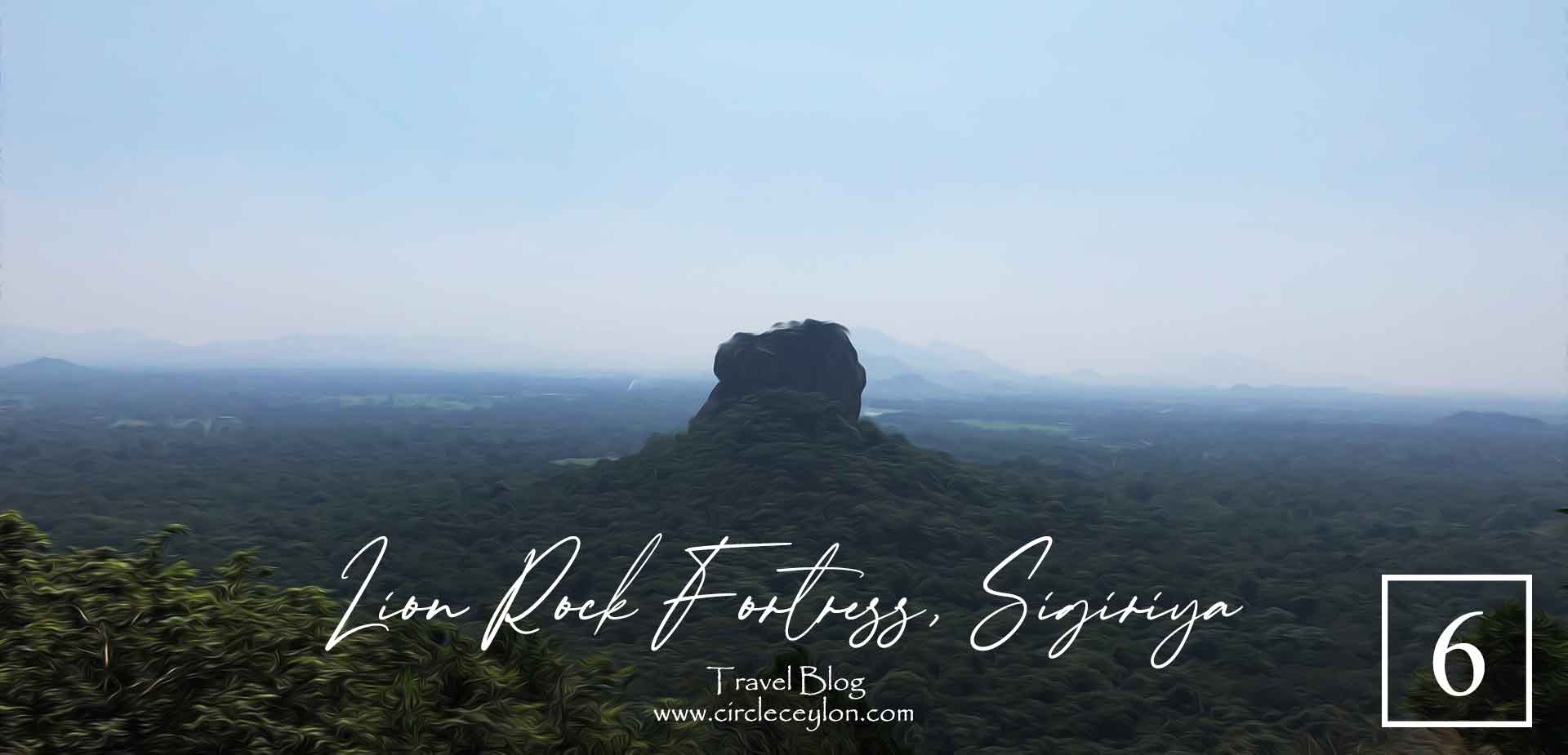
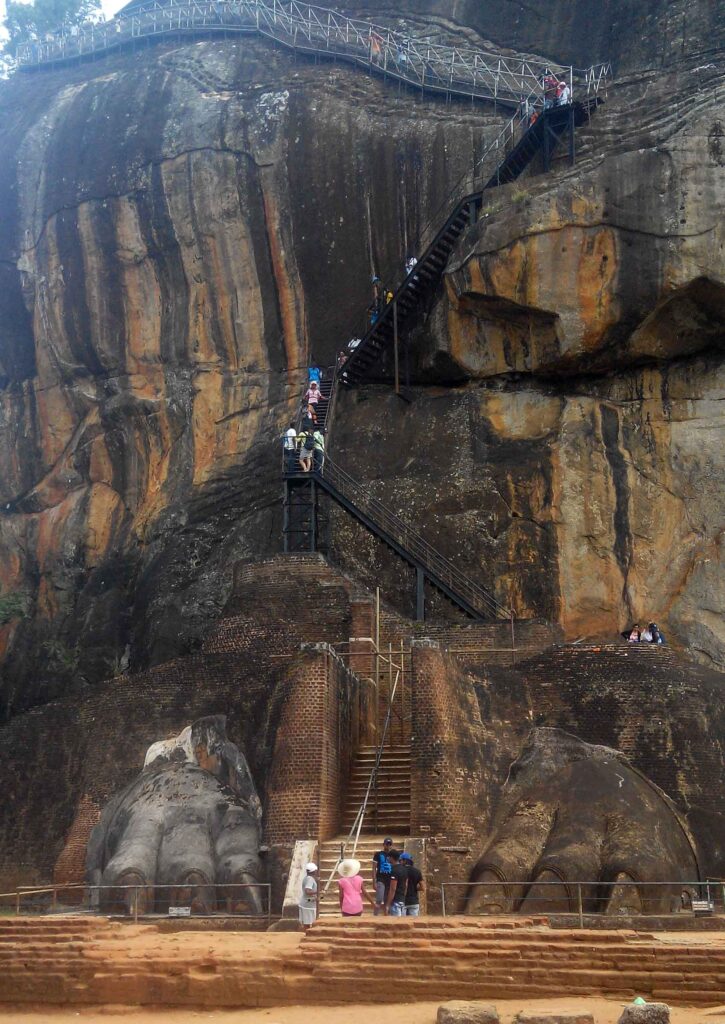
Sigiriya or Sinhagiri (Lion Rock) is an ancient rock fortress located near the town of Dambulla, Sri Lanka. The name refers to a site of historical and archaeological significance that is dominated by a massive column of rock nearly 200 metres (660 ft) high. According to the ancient Sri Lankan chronicle the Culavamsa, this site was selected by King Kashyapa (477 – 495 AD) for his new capital. He built his palace on the top of this rock and decorated its sides with colourful frescoes. On a small plateau about halfway up the side of this rock he built a gateway in the form of an enormous lion. The name of this place is derived from this structure — Sīnhāgiri, the Lion Rock (an etymology similar to Sinhapura, the Sanskrit name of Singapore, the Lion City).
A fortress in the sky with a complex complete with Frescoes, Mirror Wall, Water Garden with baffling underground network, Boulder Gardens and Terraces Gardens
How do I reach Sigiriya?
Sigiriya is popular destination with people marveling at the technology that would have been used to build a fortress complete with a palace, pools and interconnected water conduit system. Sigirya is located in the district of Matale, near the town of Dambulla. It is roughly 178 Km from Colombo (which is a 4-5Hr drive), 90Km from Kandy (whic is a 2Hr 30min drive), 17Km from Dambulla (roughly a 30-40min trip).
There is no direct bus nor train to Sigiriya. You will first have to reach the City of Dambulla by bus or reach Habarana by train. The costs for getting there is significantly cheaper with public transport but the adventurer in you needs to kick in.
From Colombo by rented car straight to Sigiriya
If your driving or in a rented car as a day trip, you directly head there and park at the car park nearby. Leave early morning preferable by 4am. Any later you will only arrive when the masses and heat settles in. The cost will range from LKR 12000-18000 which is roughly 55-80 rupees per kilometre.
You can calculate in a similar manner for trips from any other major city like Kandy.
From Colombo to Dambulla – Dambulla to Sigiriya by Bus
Those of you whom venture by bus, can get a bus from the Central Bus Terminal at Pettah. Buses operate from Colombo Bus Terminal to Dambulla,roughly, every 15 minutes. Tickets cost Rs. 170 – Rs. 230 and the journey takes 4h.
Once you arrive at Dabulla Bus Station there will be buses leaving for Sigiriya every 45-60mins. Earliest bus in the morning from dambulla is at around 6.30am. Trip takes roughly 45mins.
Advice: If your on a budget or a family with elderly or children, the bus will be an uncomfortable journey. Having a seat near the door and bus conductor is very important in a foreign country as you will need to clearly communicate and luggage could be also another problem. (They do pay extra attention to foreigners in order to drop you at the correct place)
So if you are travelling lightly on a budget the bus is a very cheap option. Otherwise go on the train.
From Colombo to Habarana by train – Habarana to Sigiriya by rented vehicle
Fort Railway station is the central hub for train commutes. You can get a train ticket for roughly Rs. 300-600 and reach Habarana Station. It will be back on a rented vehicle from here. Habarana is closer to Sigiriya than Dambulla and will cost around Rs. 400 for a tuk-tuk drop off.
Sigiriya
Sigiriya is definitely on most list of things to do but i have noticed among my Airbnb guests that it is also one of the most overlooked. It is mainly because of shorter trips and they have excluded two of the cultural triangle cities, namely Anuradhapura and Polonnaruwa, in exchange for southern beaches and central highland trails and scenery. Sigiriya, Anuradhapura, Polonnaruwa are close together on the map that if you got time you could visit all three and experience the ruins left from golden age of Sri Lankan history.
The Approach
As you approach Sigiriya, you feel your excitement building with child like curiosity kick in, eager to get your first glimpse of this archaeological marvel. Unlike all other places in Sri Lanka (except for cental mountains) Sigiriya has the unique trait of being a lone giant, standing proudly and dominating the skyline. I have visited Sigiriya numerous times and still i still yearn for that first glimpse, which triggers my vivid imagination into picturing of what if would have truly looked like in the 5th century, during King Kashyapa’s reign.
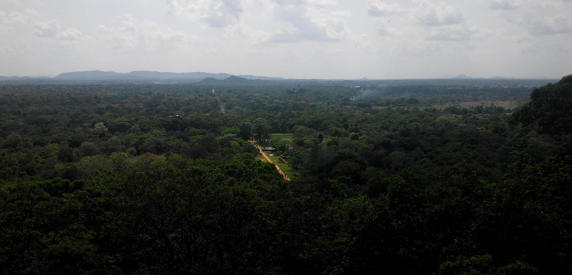
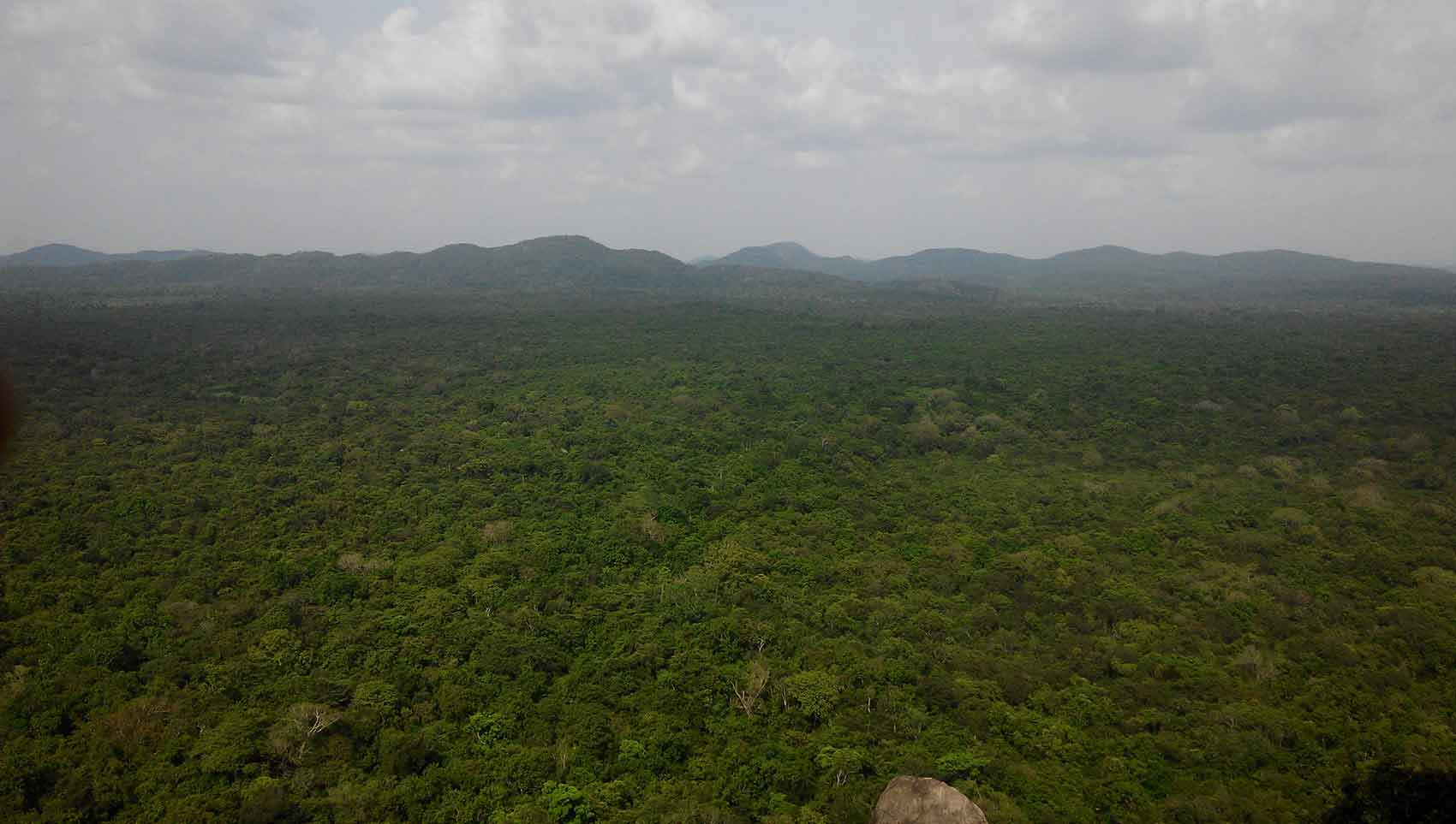
Sigiriya is densely forested, so the vegetation will initially obscure the view and further add to your frustration and longing. As if come much close the solitary giant comes into your field of view with all its majesty and glory.
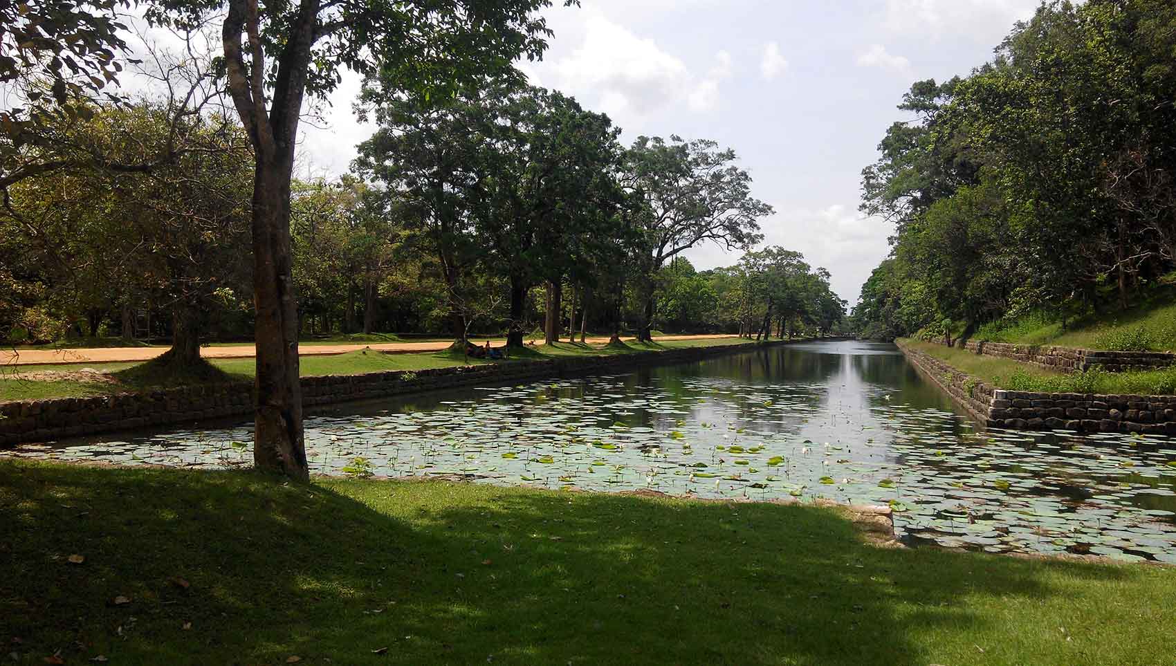
The walk towards it directly in front of the rock, past the external moat and through the water gardent.
The ticket office and museum conveniently place of this pathway. ( I have mentioned the ticket prices. Is it worth the price? Yes, it is. Many tourist who have will agree with me on this.)
Advice: Remember to use the toilet and pack enough water. Wear comfortable clothing, preferable shorts or trousers. Wear tennis or climbing shoes or slippers. Have a cap or hat and a hand towel in your backpack. Remember to take your best camera and spare batteries.
The Citadel Map
The Water Garden
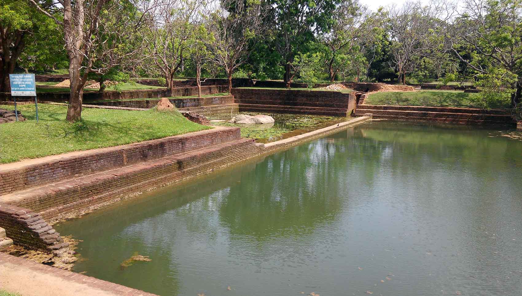
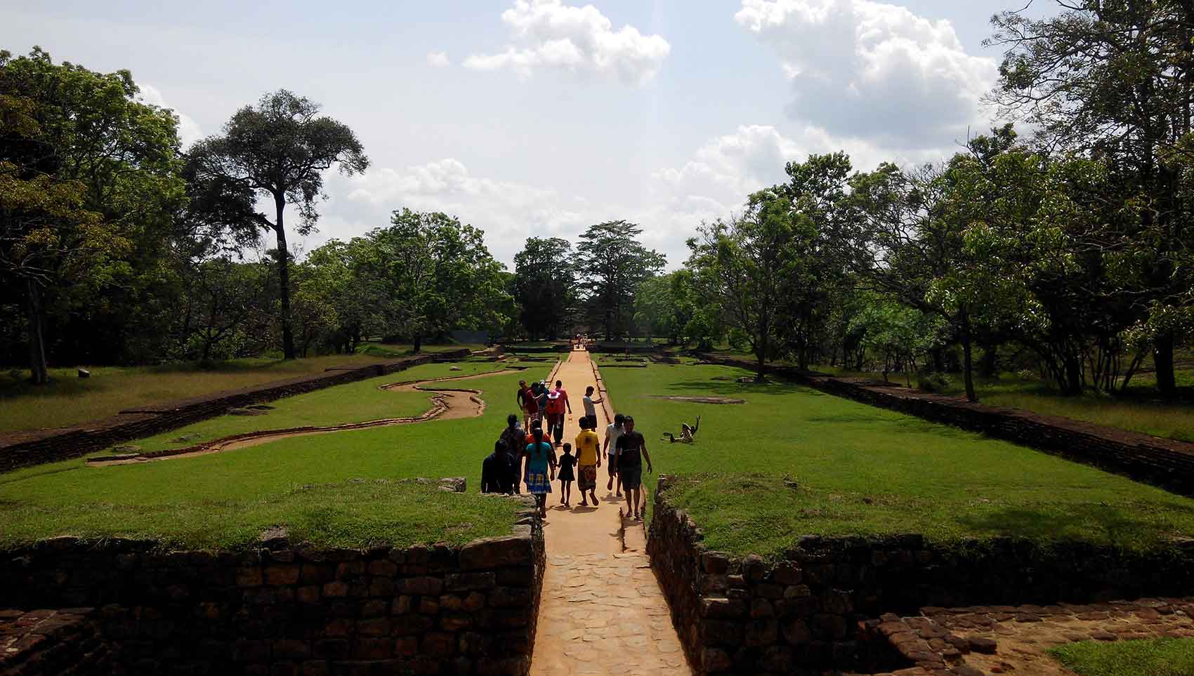
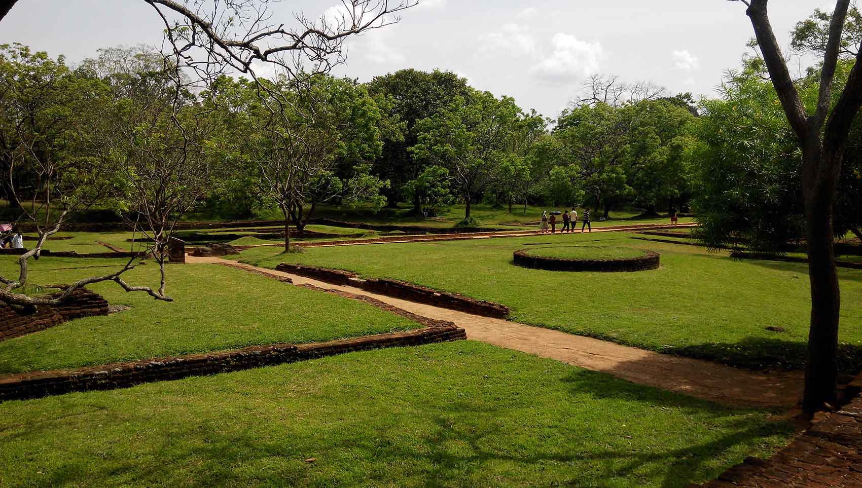
You enter the city when you pass the the outer rampart (3) and outer moat (4) arriving at the western entrance (5). As you enter through the western entrance you then pass the inner moat (7) and inner rampart (6). The Water Gardens (9) and the Summer Palaces (10) follows with terraced gardens. There are no structures that have survived the test of time but the foundations are intact and the layout of the gardens and city is preserved.
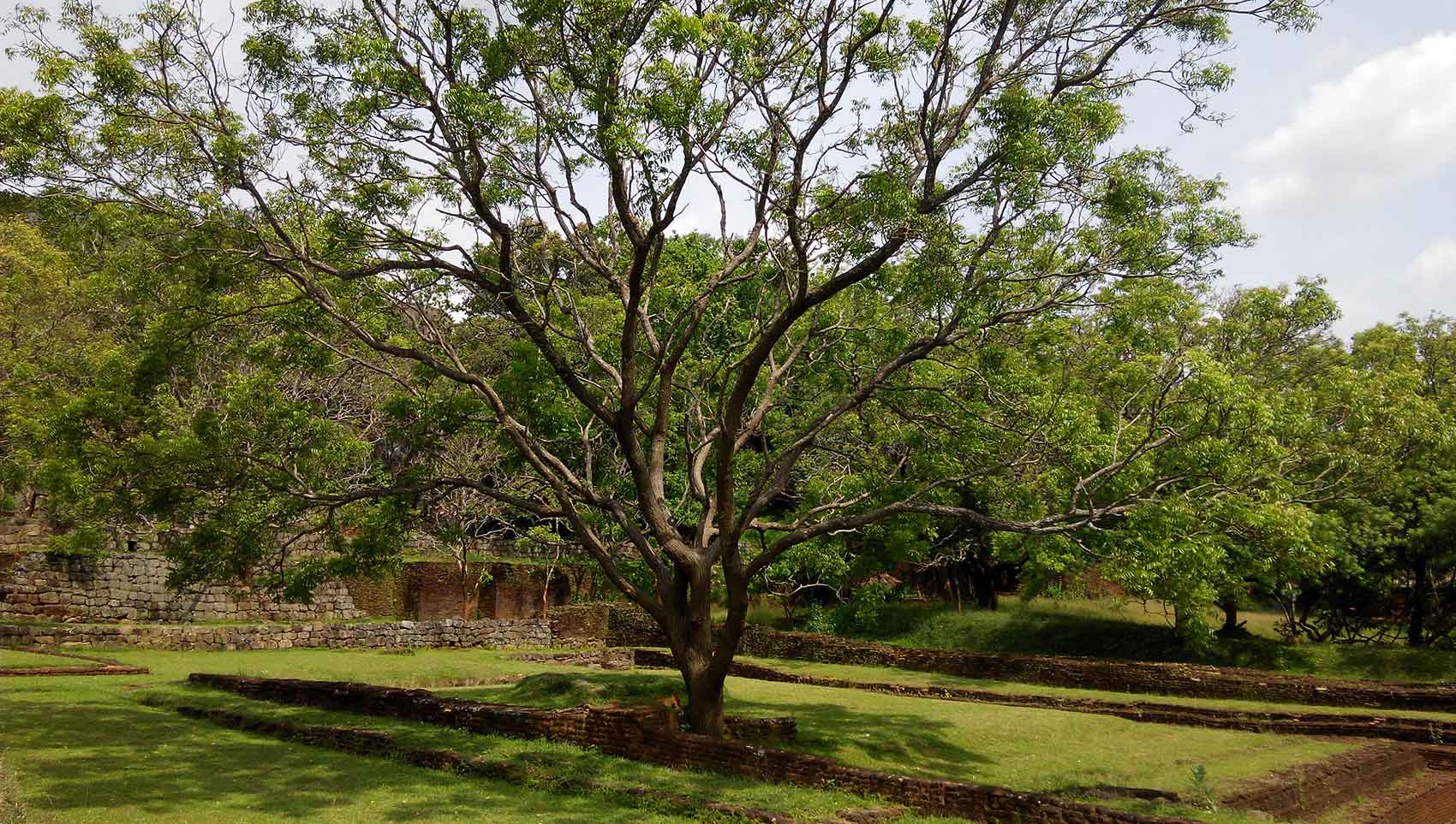
The Gardens of the Sigiriya city are one of the most important aspects of the site, as it is among the oldest landscaped gardens in the world. The gardens are divided into three distinct but linked forms: water gardens, cave and boulder gardens, and terraced gardens.
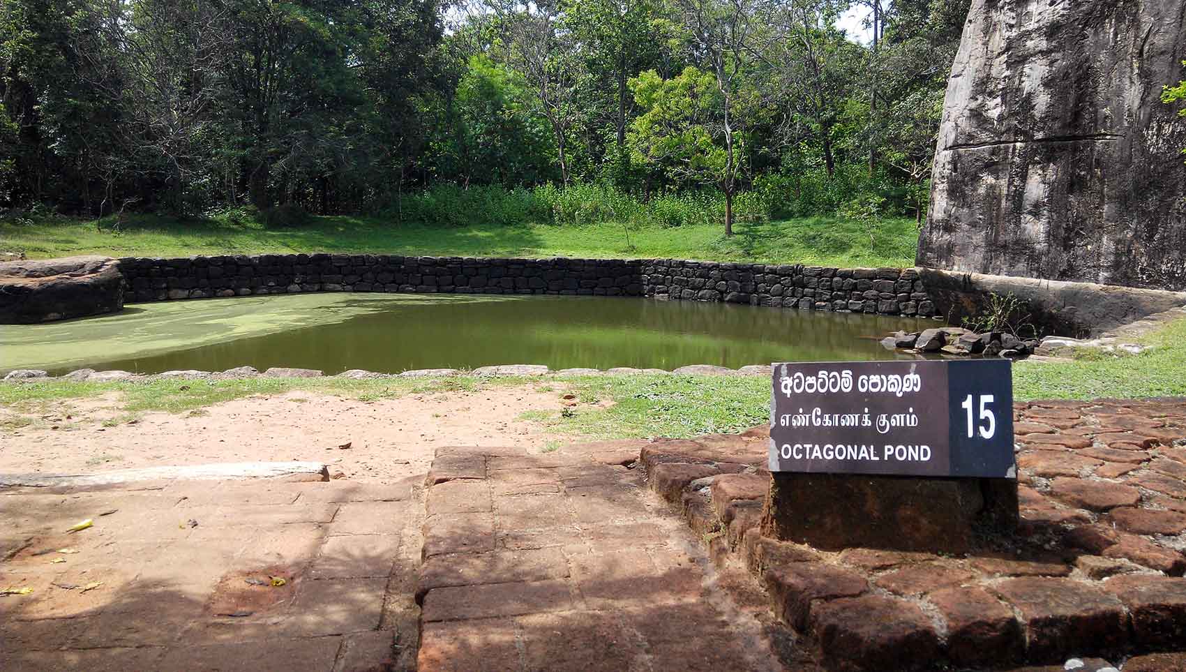
The water gardens can be seen in the central section of the western precinct. Three principal gardens are found here. The first garden consists of a plot surrounded by water. It is connected to the main precinct using four causeways, with gateways placed at the head of each causeway. This garden is built according to an ancient garden form known as char bagh, and is one of the oldest surviving models of this form.
Boulder Gardens
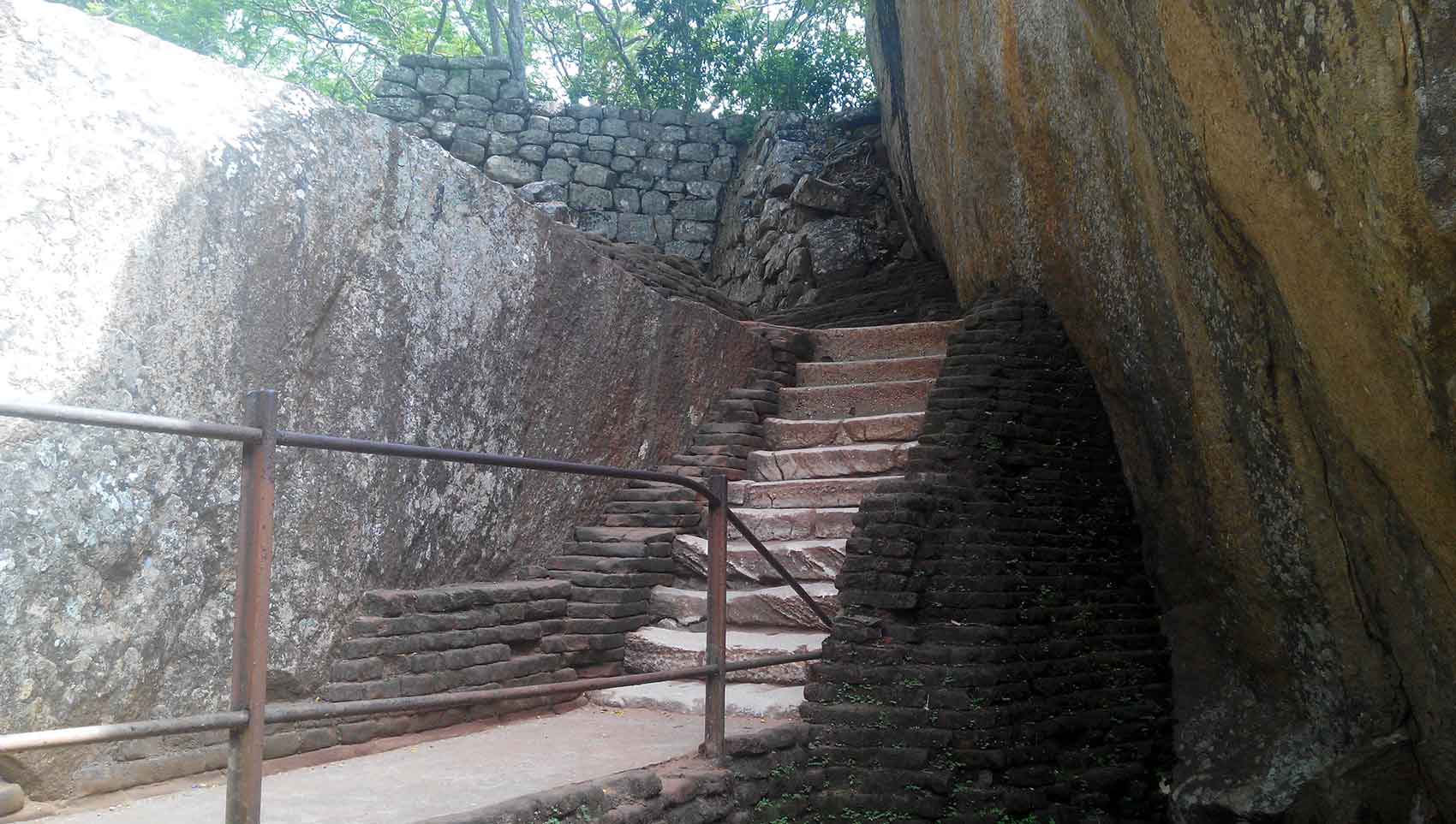
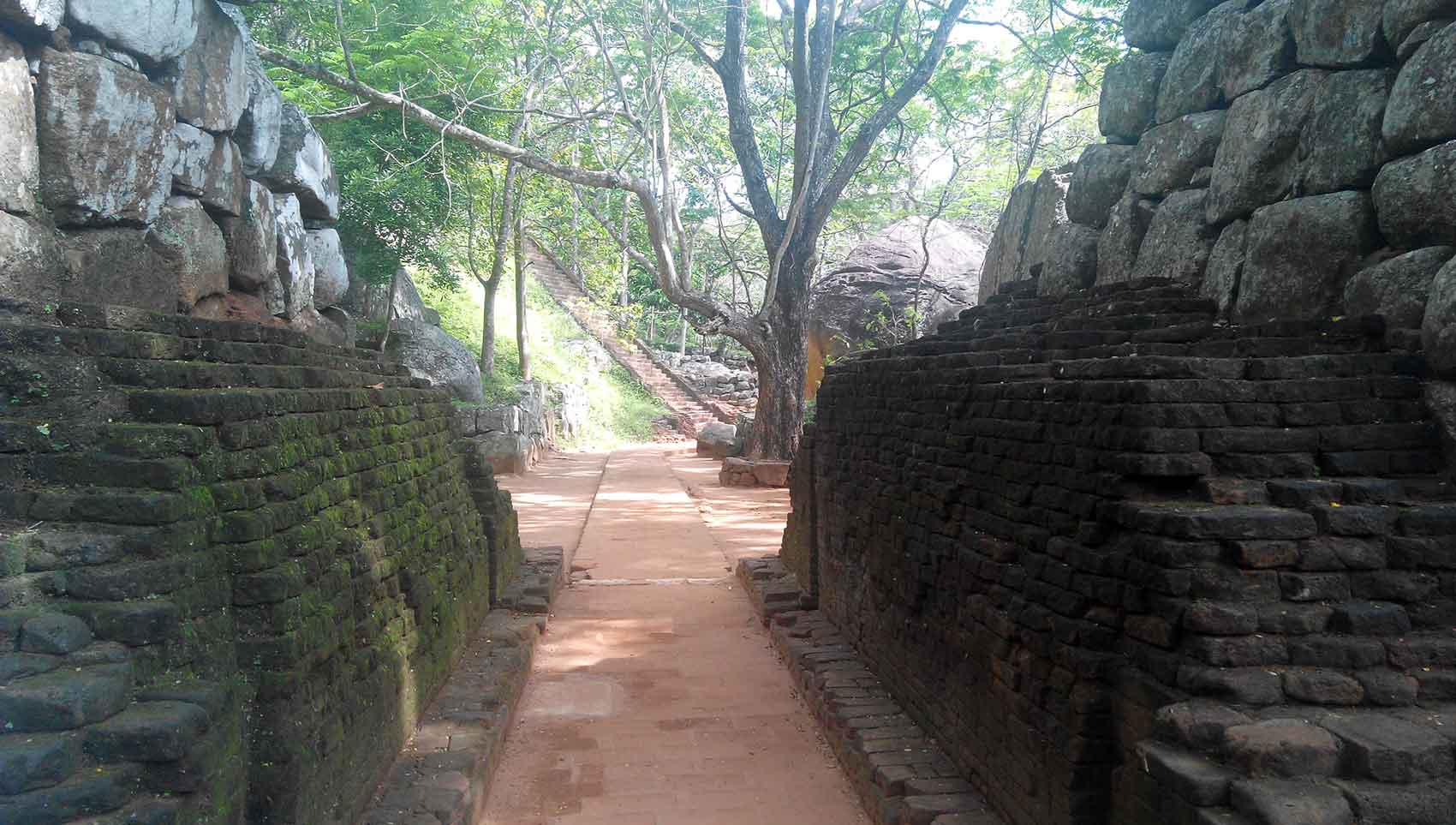
After walking past the beautiful gardens and summer palaces we arrive at the base the of the base of our climb. The pathway is a maze of stairways with several small detours along the way. Here we encounter the boulder garden. Large boulders stand forming archways, wall and shelters. Each area is careful marked with sign posts so you would clearly notice them. This is a reason why you should come early in the morning to Sigiriya, avoiding the midday sun is an ojective but you should really have time to fully explore every each sigiriya has to offer.
The boulder gardens consist of several large boulders linked by winding pathways. The gardens extend from the northern slopes to the southern slopes of the hills at the foot of Sigiris rock. Most of these boulders had a building or pavilion upon them; there are cuttings that were used as footings for brick walls and beams. They were used to be pushed off from the top to attack enemies when they approached.
Terraced Gardens
As you keep on ascending long the ancient stairways you will notice that either side of the slope has been converted to beautiful terraced gardens.
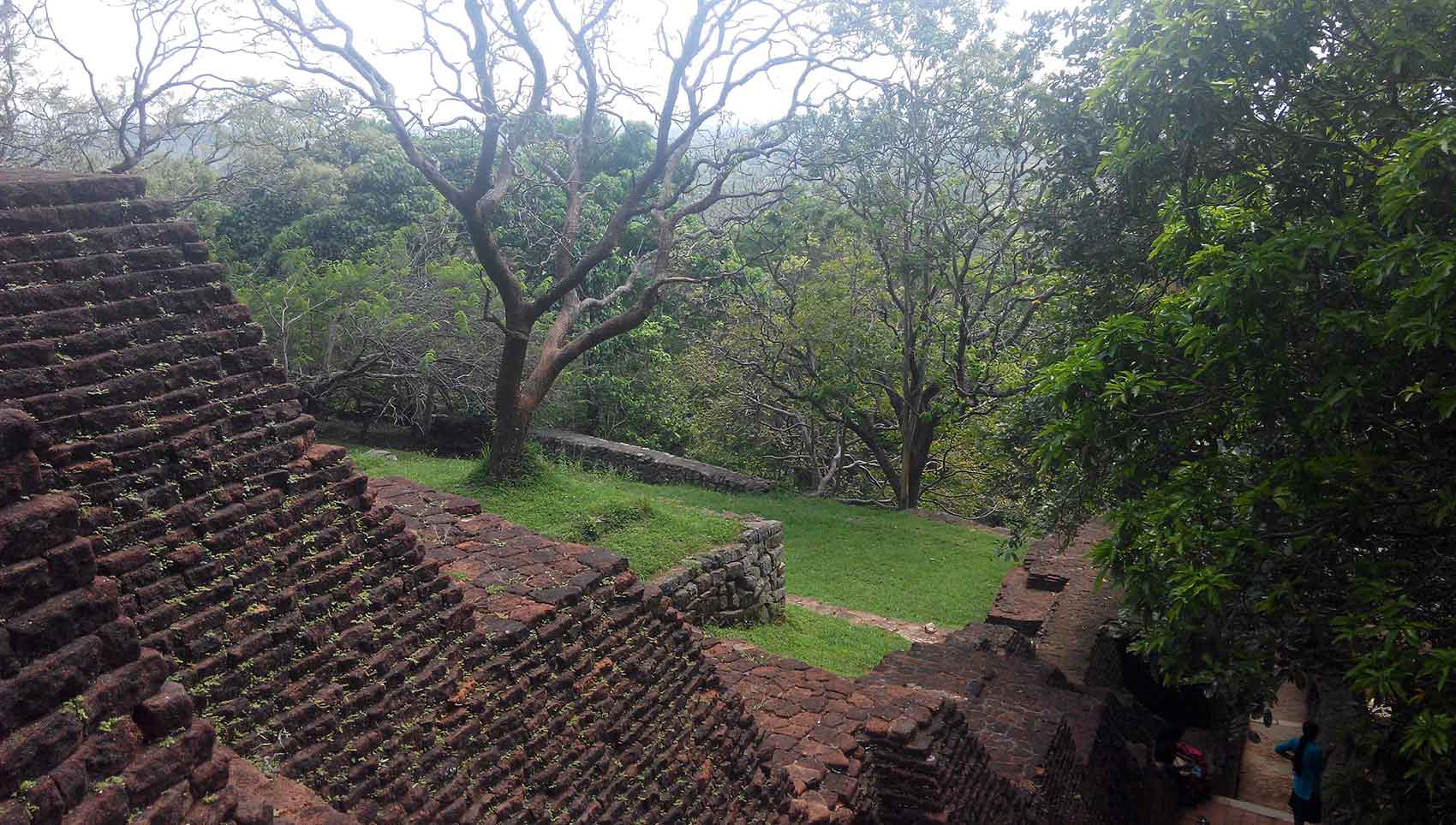
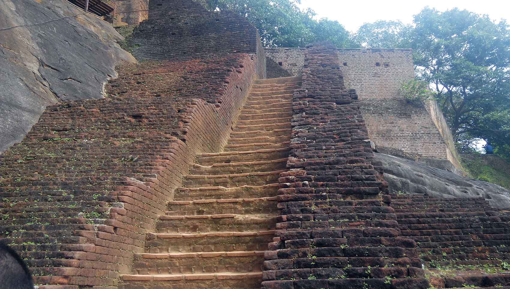
The terraced gardens are formed from the natural hill at the base of the Sigiriya rock. A series of terraces rises from the pathways of the boulder garden to the staircases on the rock. These have been created by the construction of brick walls, and are located in a roughly concentric plan around the rock. The path through the terraced gardens is formed by a limestone staircase. From this staircase, there is a covered path on the side of the rock, leading to the uppermost terrace where the lion staircase is situated.
The Frescoes
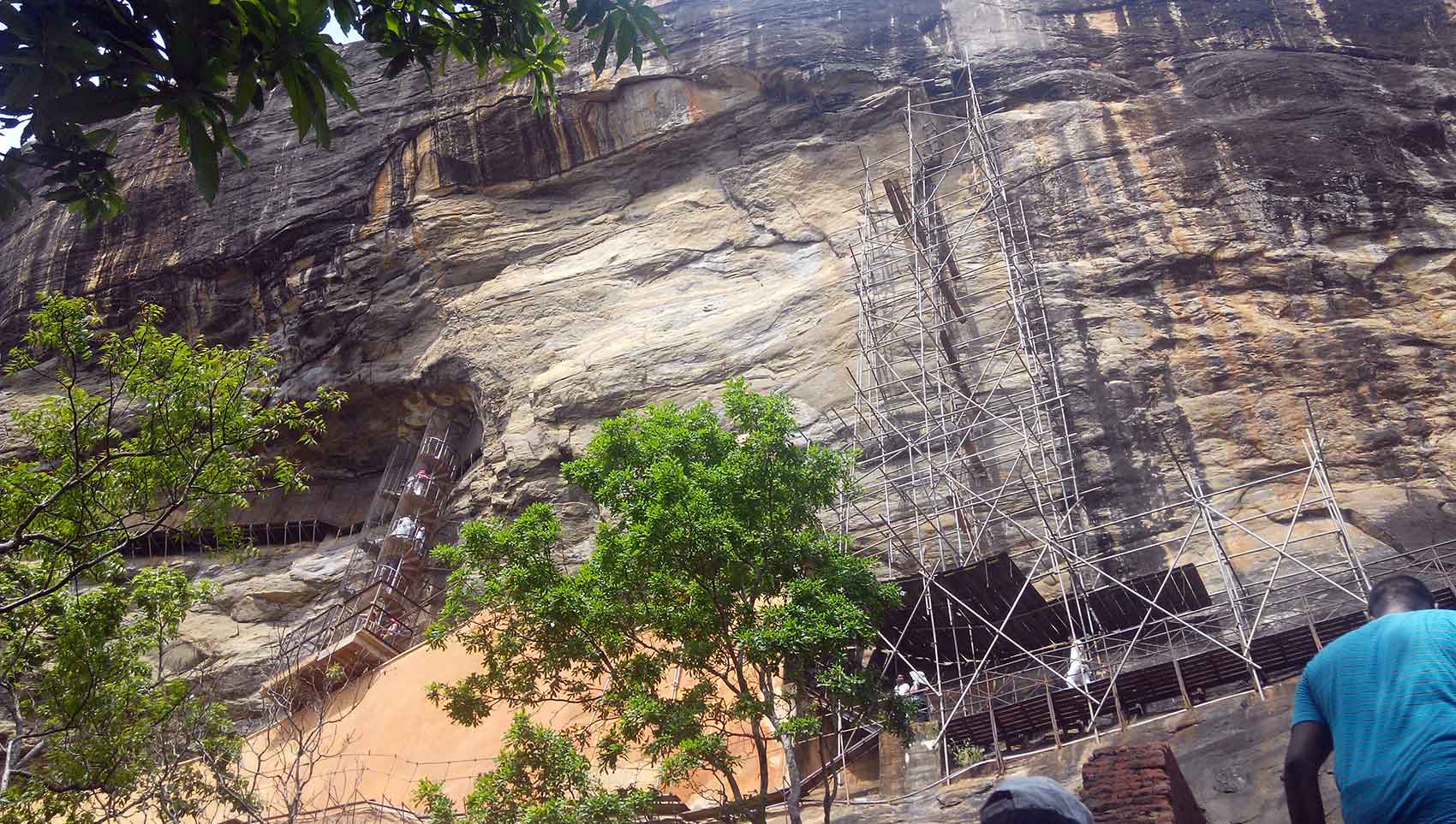
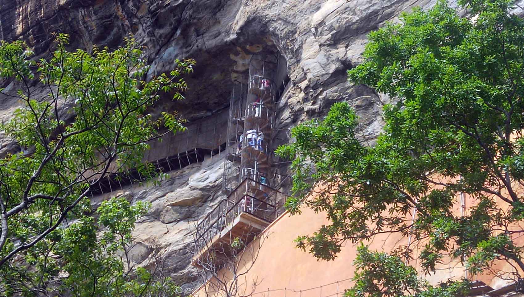
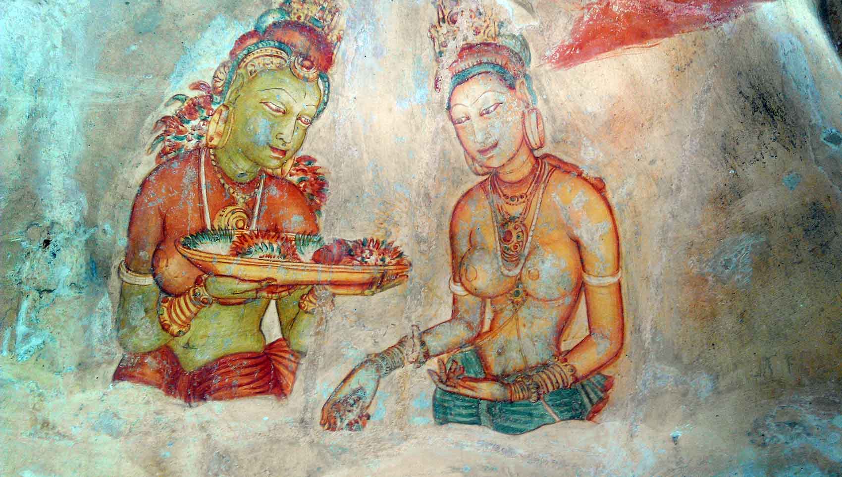
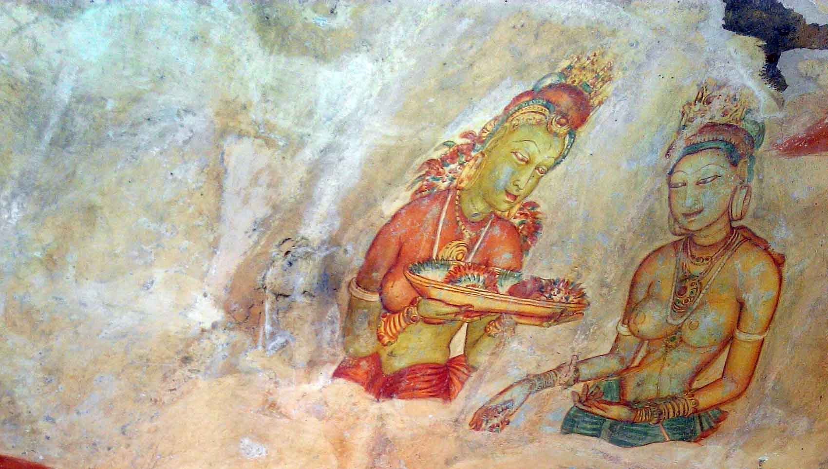
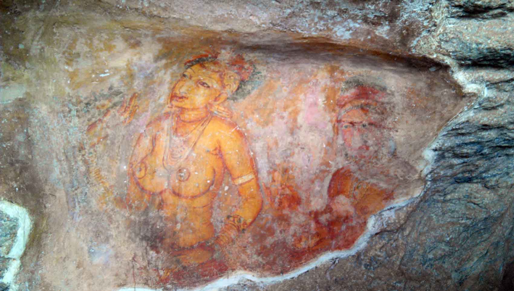
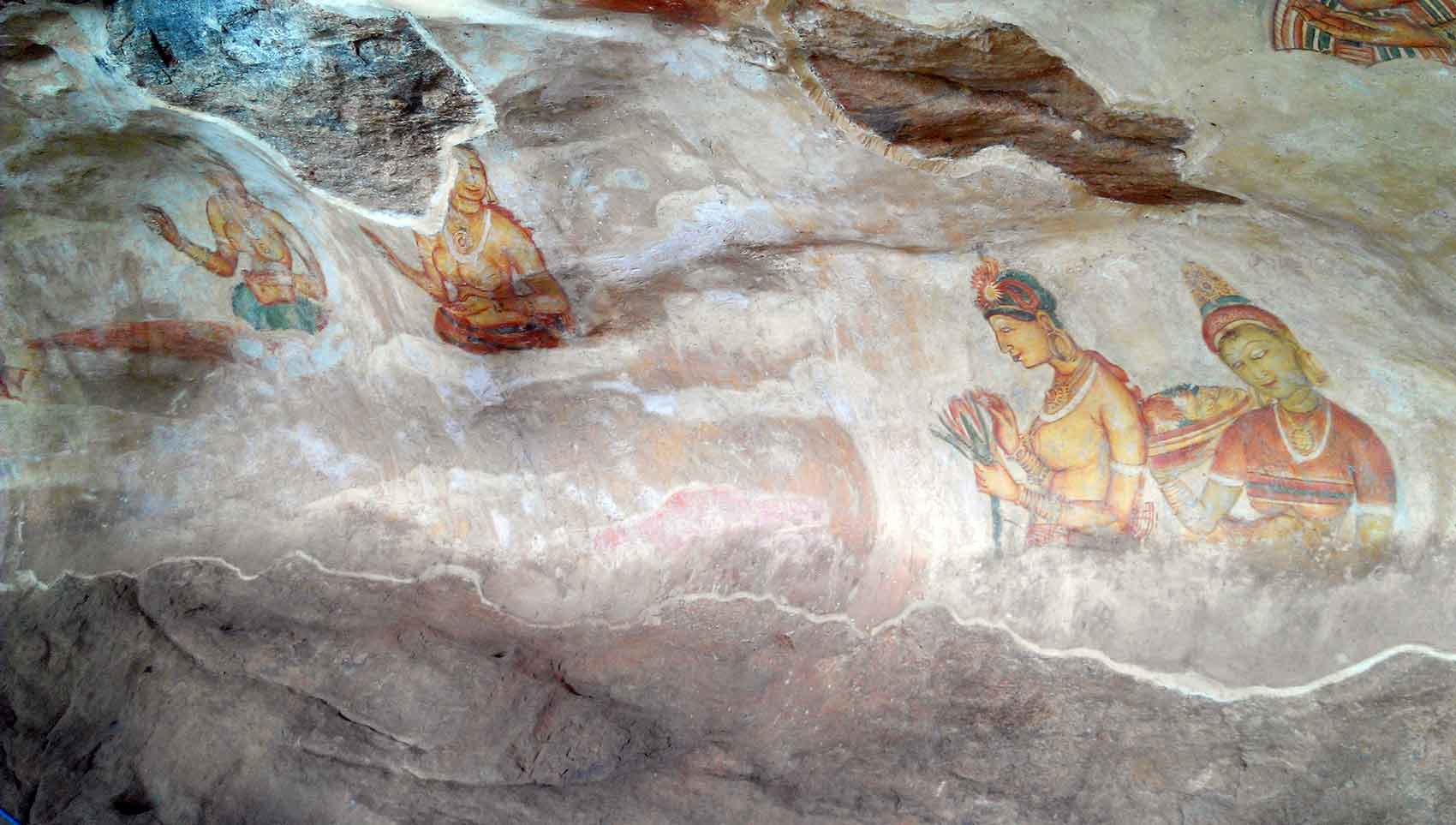
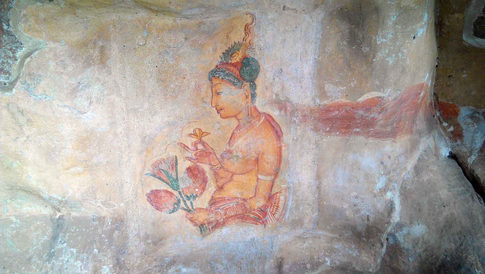
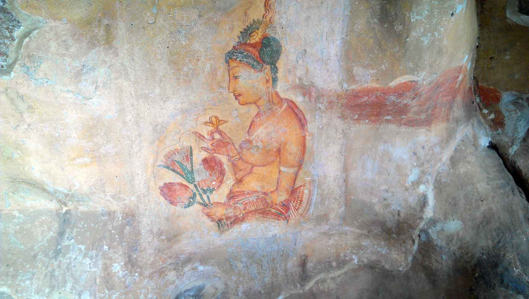
Once you have passed the gardens you finally starting climbing the metal stairways that hug the rock surface. Following the flat portion of this stairway, you will encounter a spiral ascending to wards the caves that house the famous frescoes of the Celestial Nymphs or Cocubines. The frescoes are a world acclaimed National Treasure. If was once defaced with tar in an act of vandalism, but it was later restored with great effort, both local and international experts collaborated in restoring the frescoes but part were lost.
John Still in 1907 wrote, “The whole face of the hill appears to have been a gigantic picture gallery… the largest picture in the world perhaps”. The paintings would have covered most of the western face of the rock, an area 140 metres long and 40 metres high. There are references in the graffiti to 500 ladies in these paintings. However, most have been lost forever.
The Mirror Wall & Poems (Kurutu Gee)
After heading back down on the spiral stairway you pass the The Mirror wall. Originally this wall was so highly polished that the king could see himself whilst he walked alongside it. Made of brick masonry and covered in highly polished white plaster, the wall is now partially covered with verses scribbled by visitors, some of them dating from as early as the 8th century.
Currently, you are not allowed to touch or to scribble on the wall. It is punishable offense to add to the now protected scribbling.
The Lions Gate
After passing the Mirror Wall you arrive at an open area which contains the entrance, through a preserved stairway shouldered by two massive paws of a lion. Unfortunately, the rest of the lion is not existent today.
The Summit
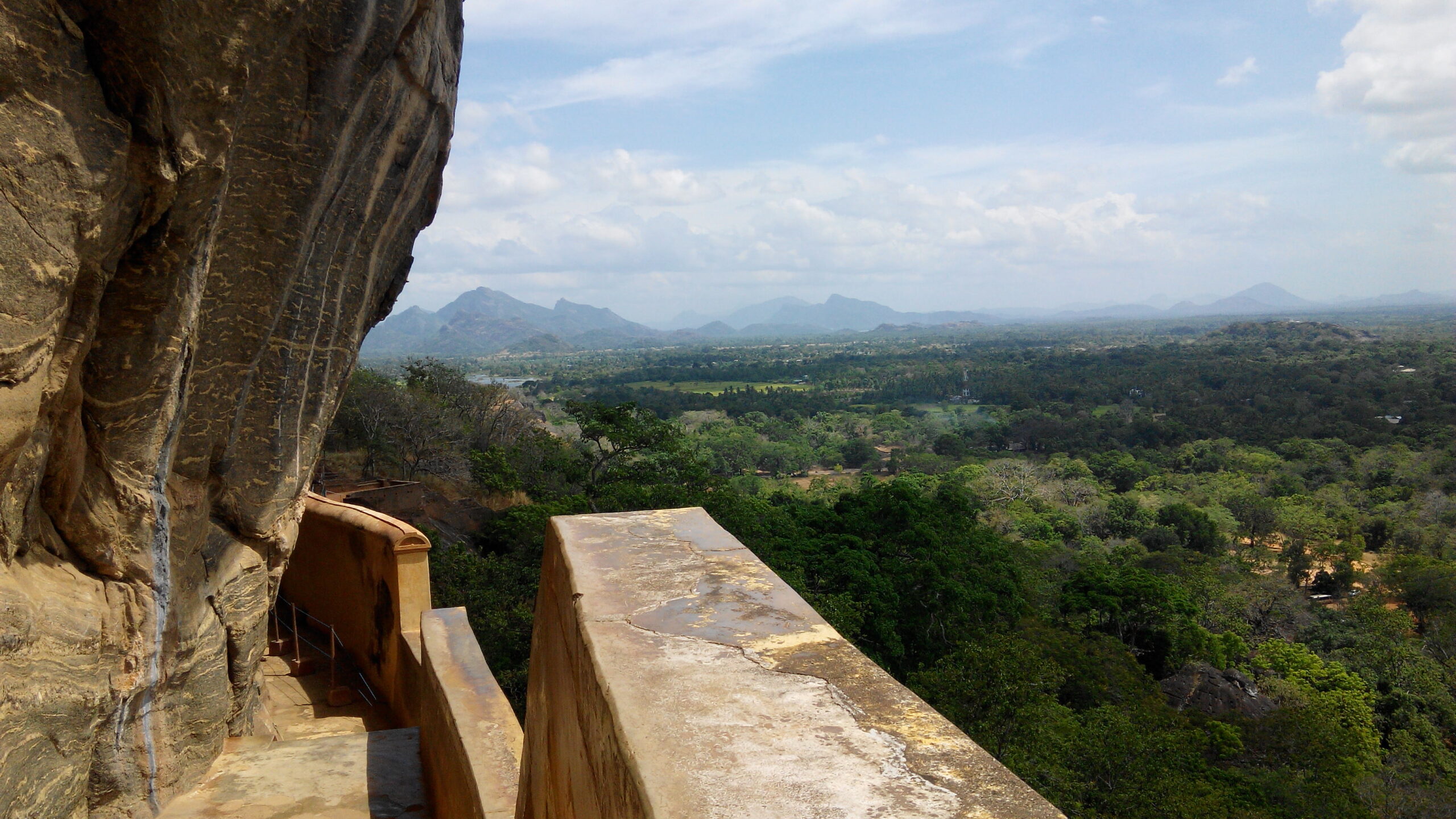
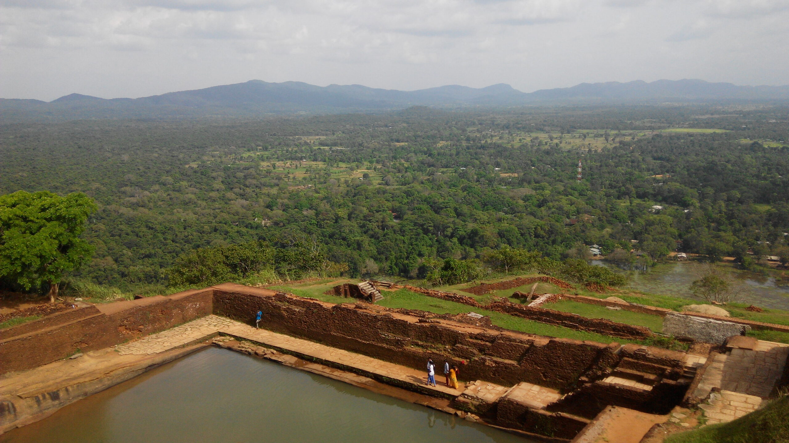
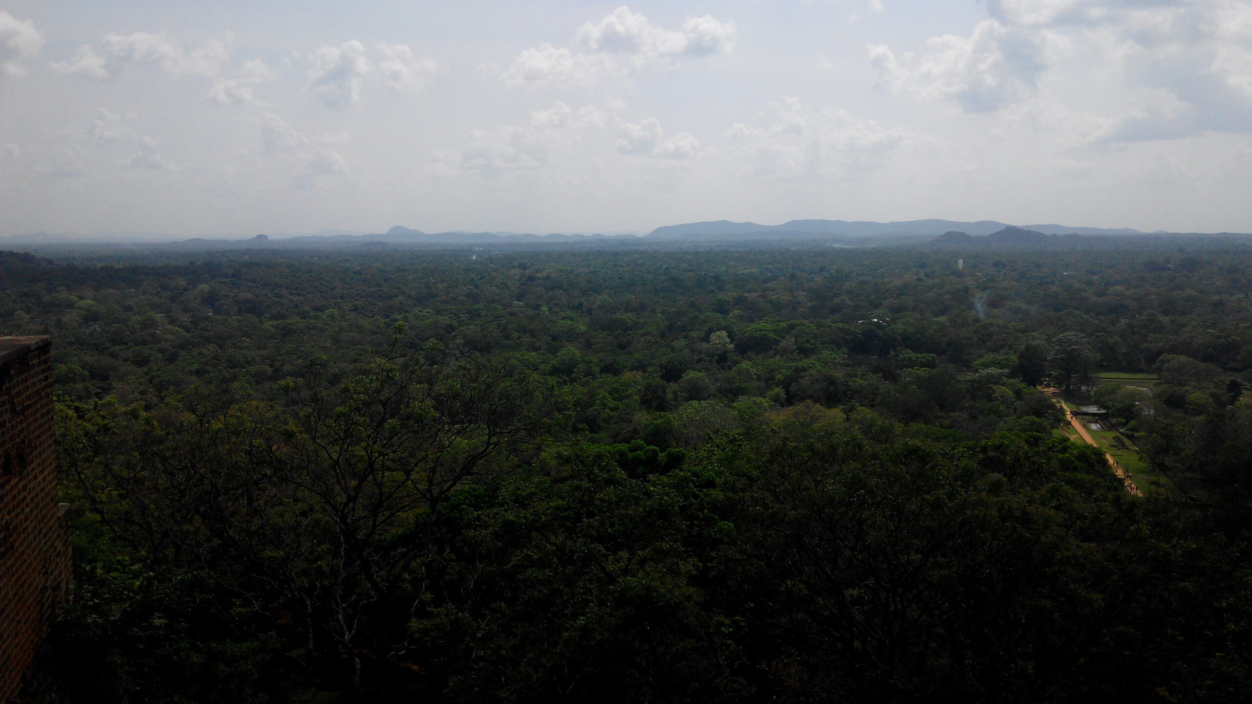
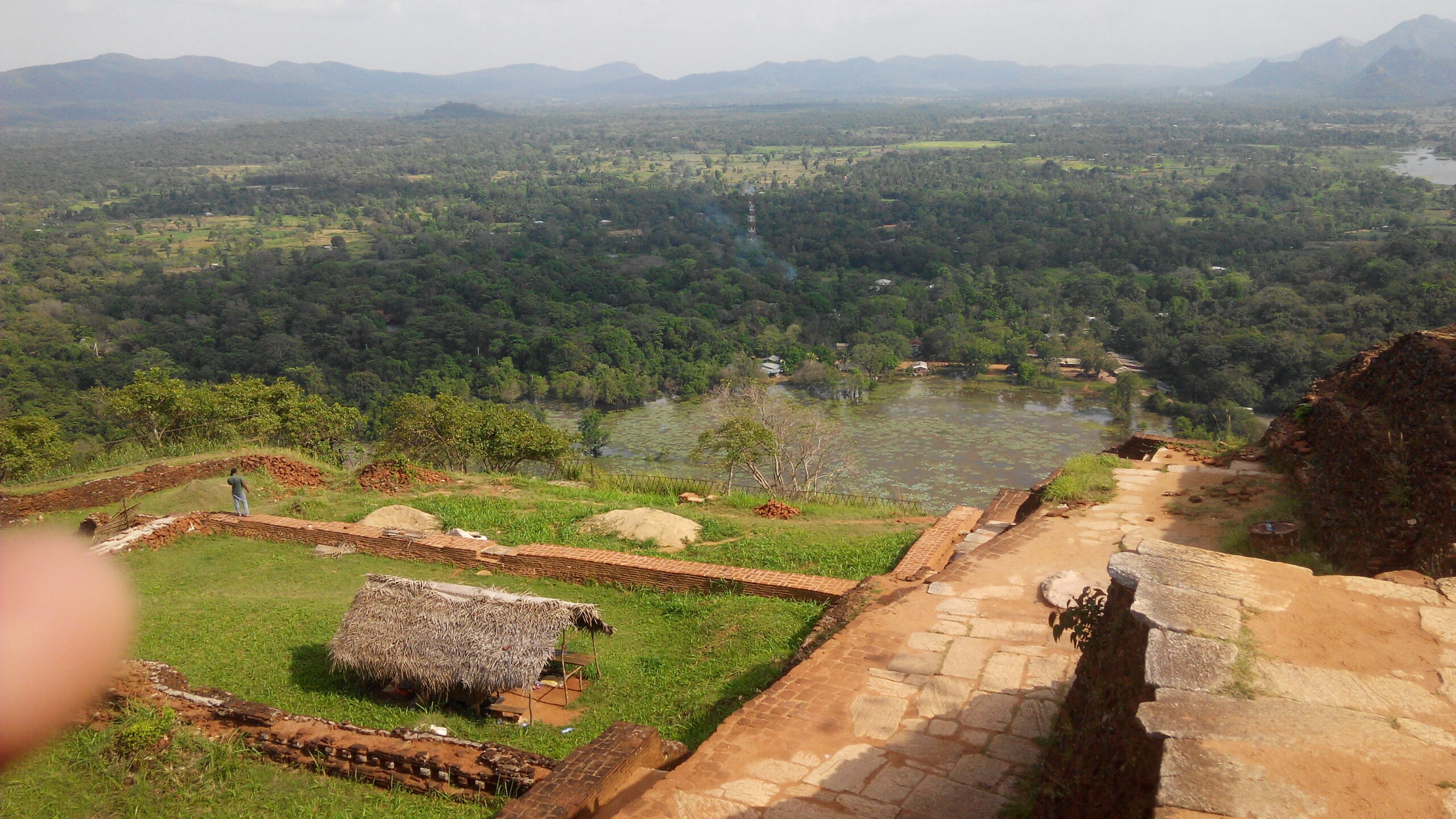
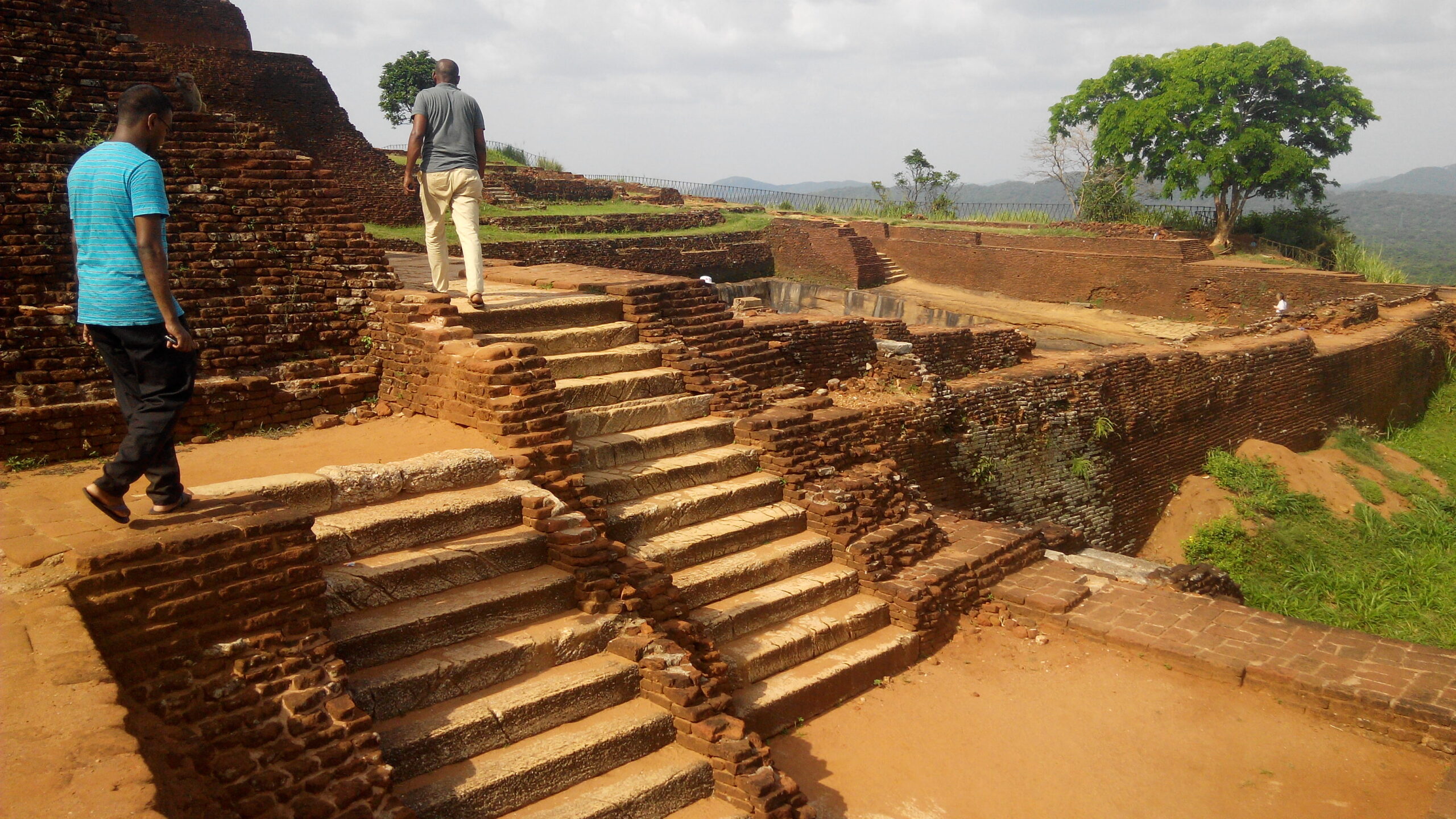
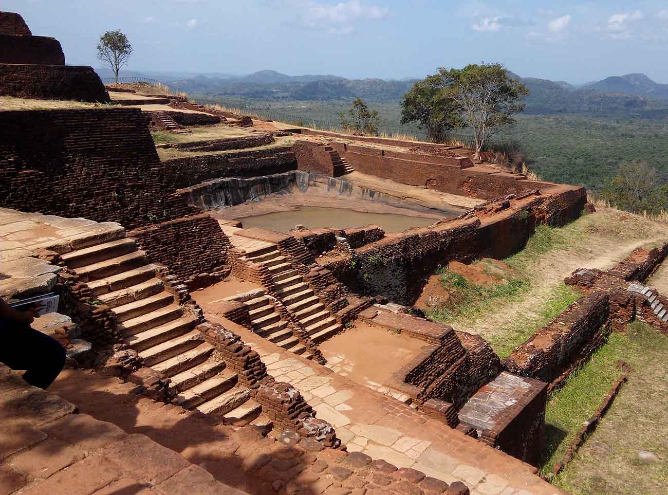
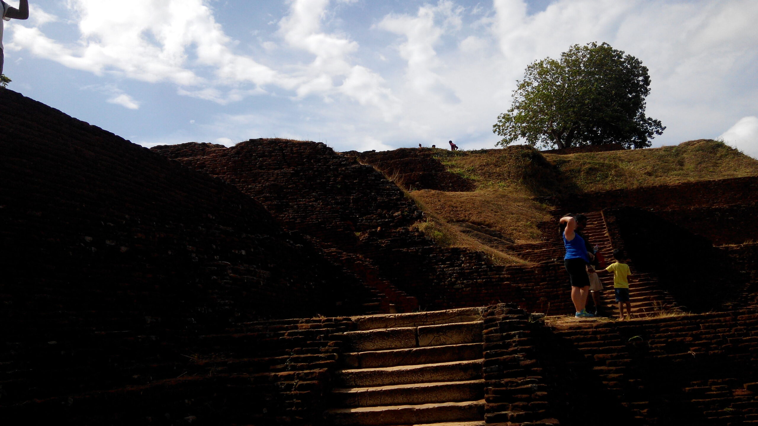
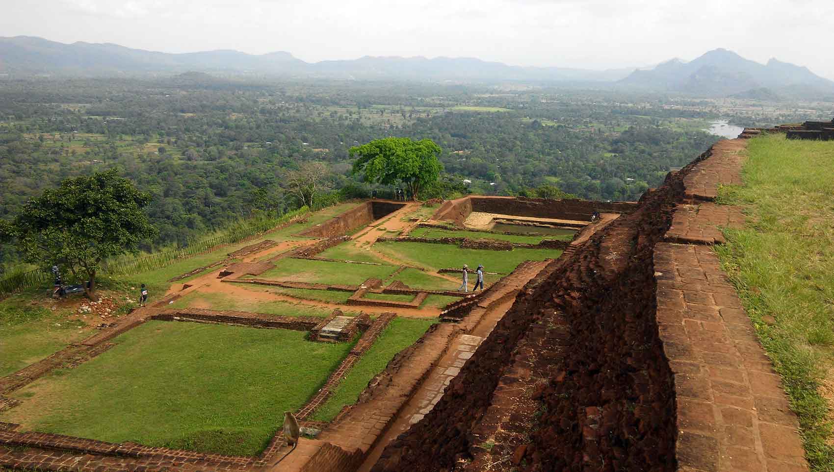
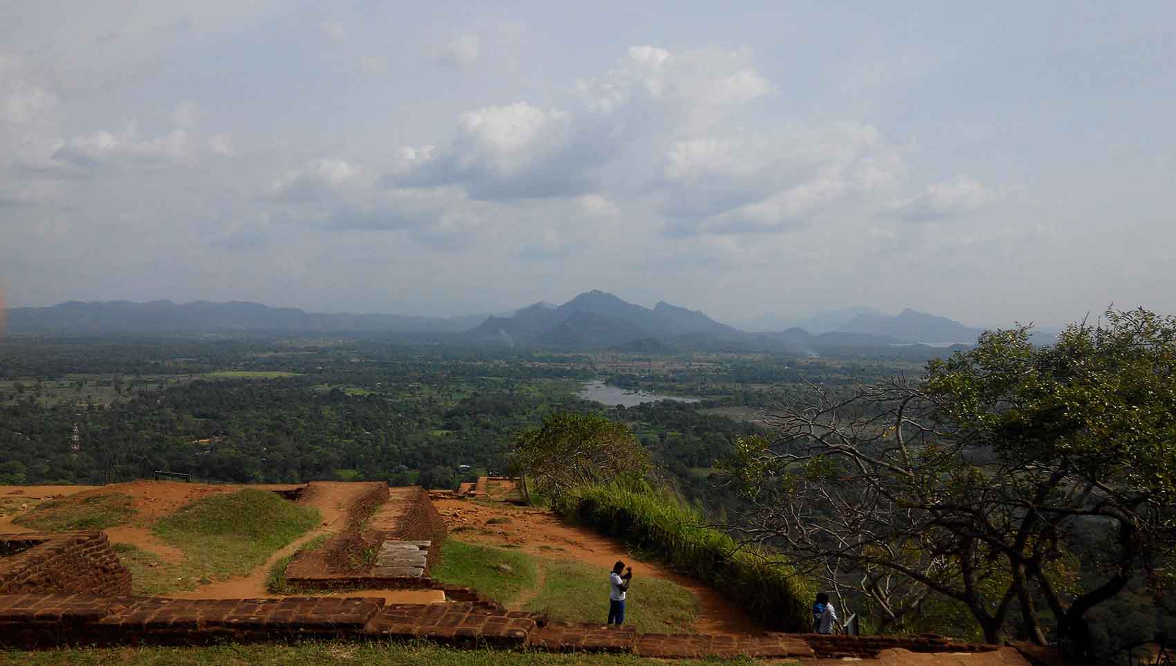
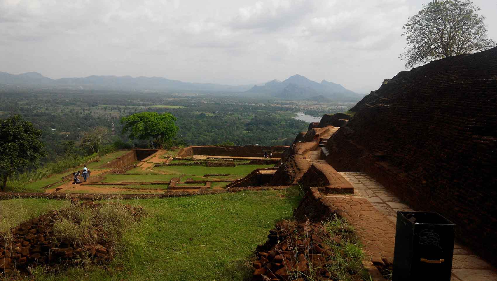
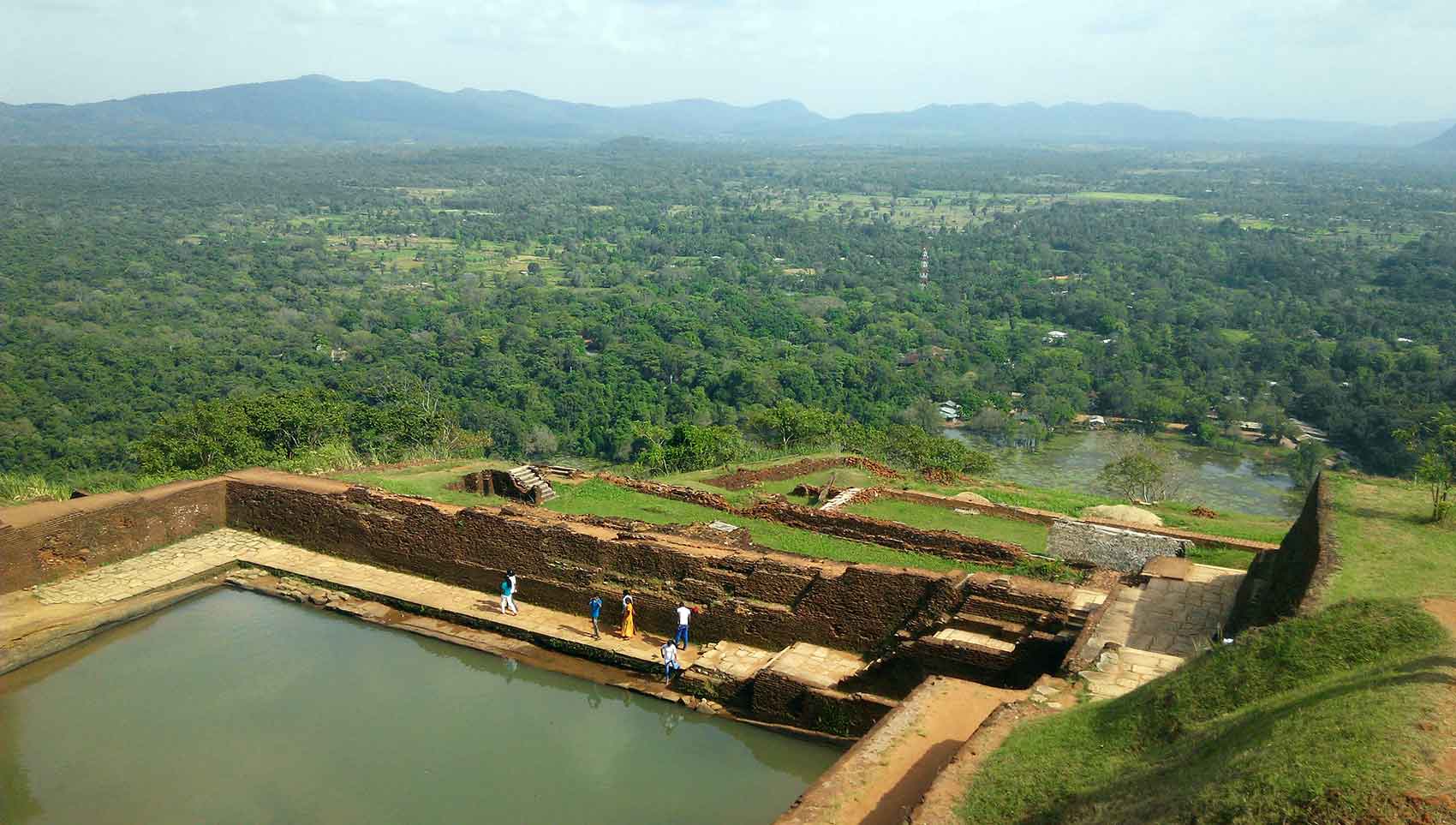
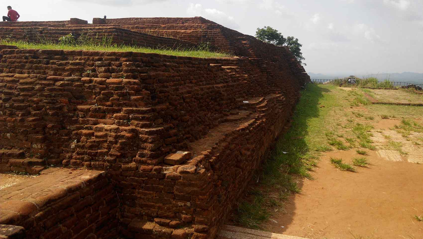
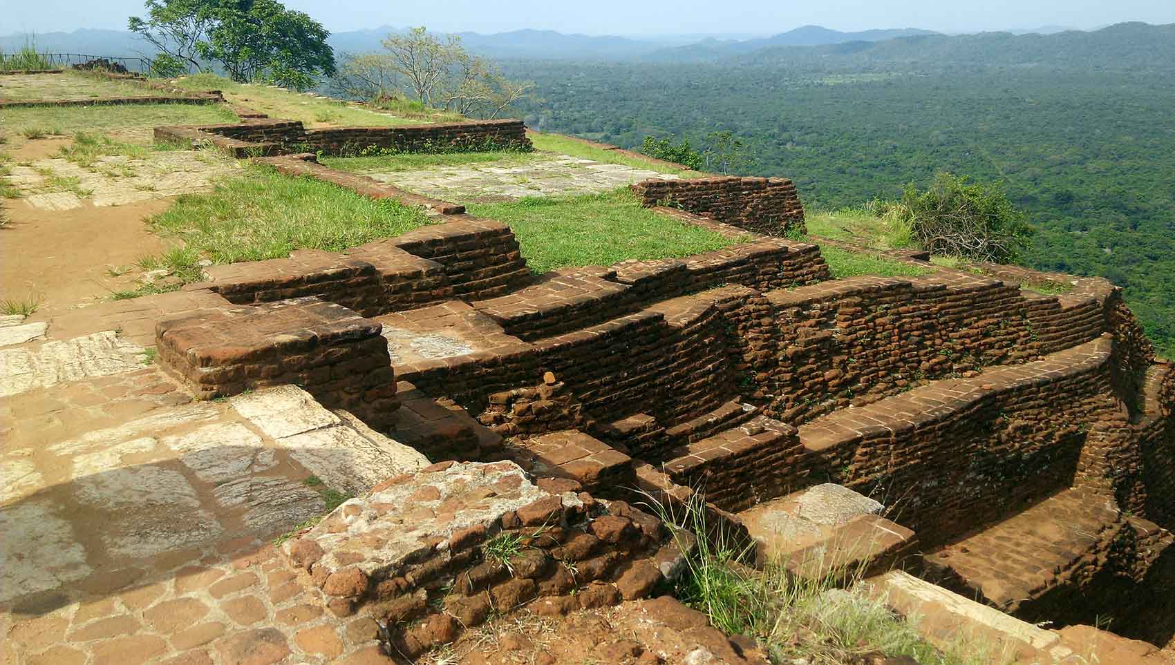
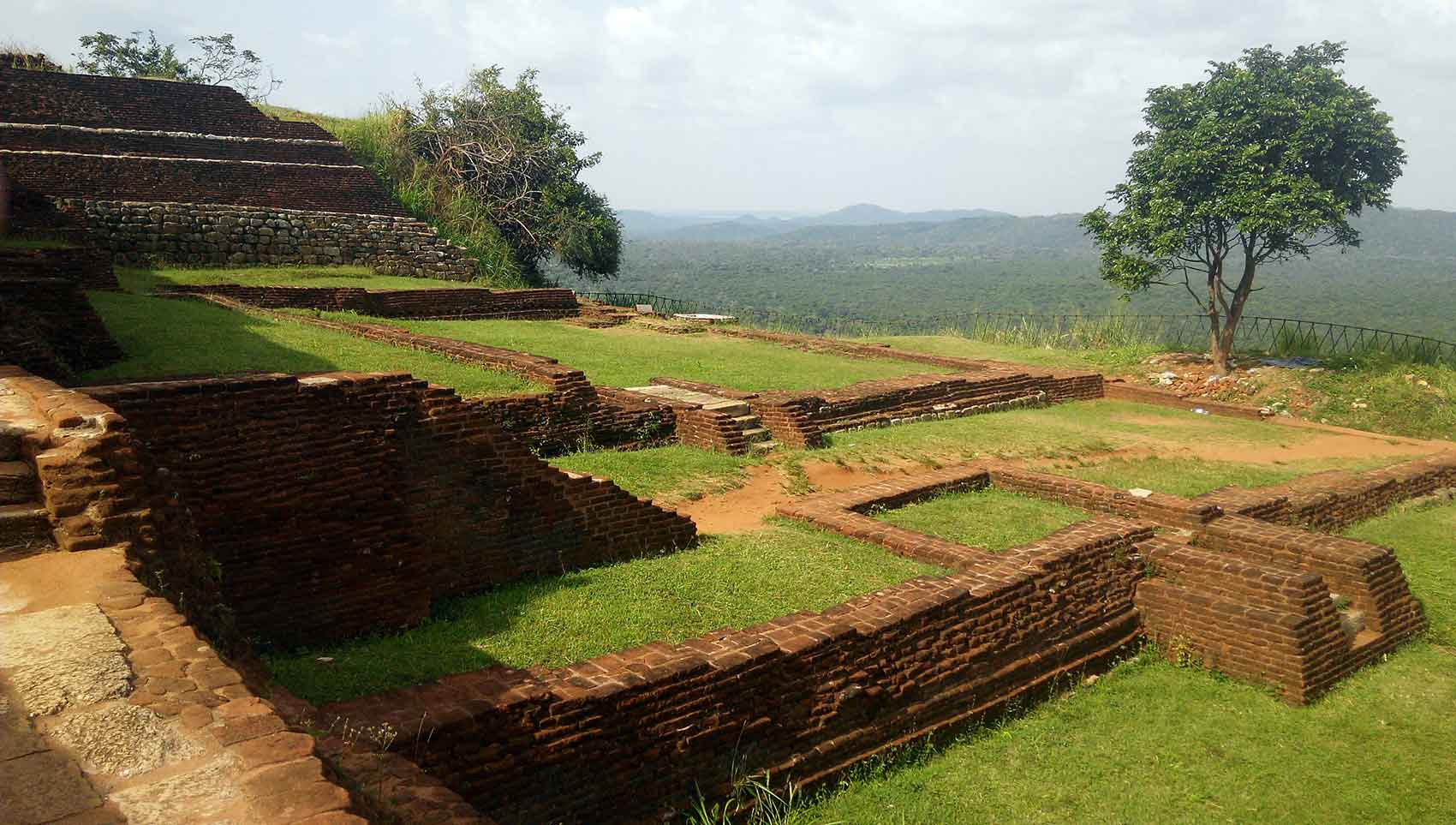
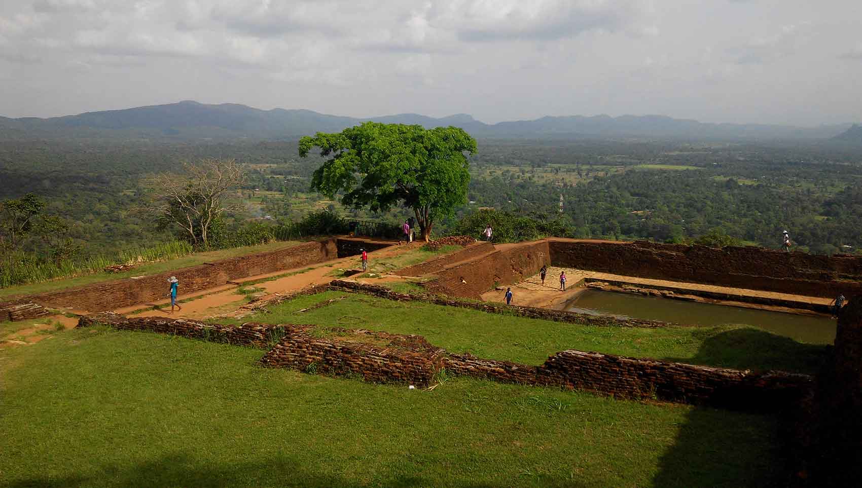
Once you get to the top all your effort is vindicated by magical scenery in dreams. The summit itself has foundation of ruins running the full extent of the surface area. On top it isn’t one big flat surface, there are many levels with stairs connecting them. There massive swimming pools on the summit, which could have been for swimming or for water storage.
The Southern view from top gives magnificent aerial view of the Sigiriya Tank and of a gorgeous mountain range.
The Western view will give a you wonderful view of the symmetrical genius of ancient urban planning. You can view the gardens and the road that you would trodden just a couple of hours ago.
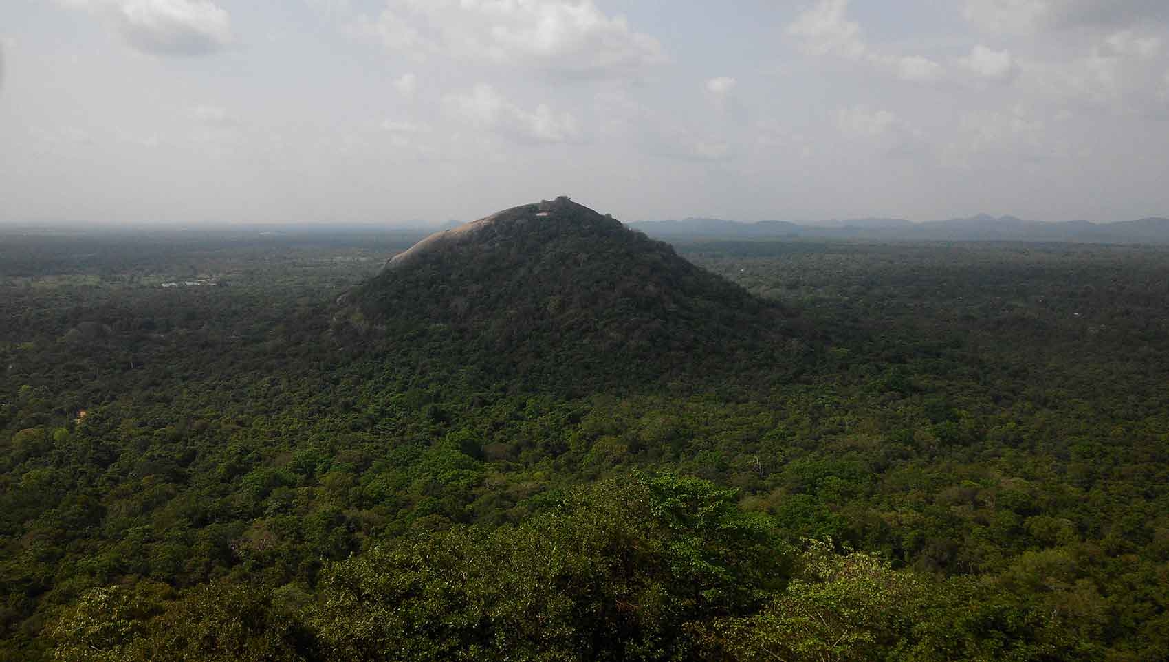
The Eastern view is dominated by a flat rock elevation called Pidurangala, now a popular hiking destination for those who want to view Sigiriya. Pidurangala Monastery is also situated there.


